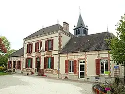
Allemanche-Launay-et-Soyer
| Allemanche-Launay-et-Soyer | |
|---|---|
 Radnice | |
| Poloha | |
| Souřadnice | 48°36′16″ s. š., 3°47′14″ v. d. |
| Nadmořská výška | 73–100 m n. m. |
| Časové pásmo | UTC+01:00 (standardní čas) UTC+02:00 (letní čas) |
| Stát | |
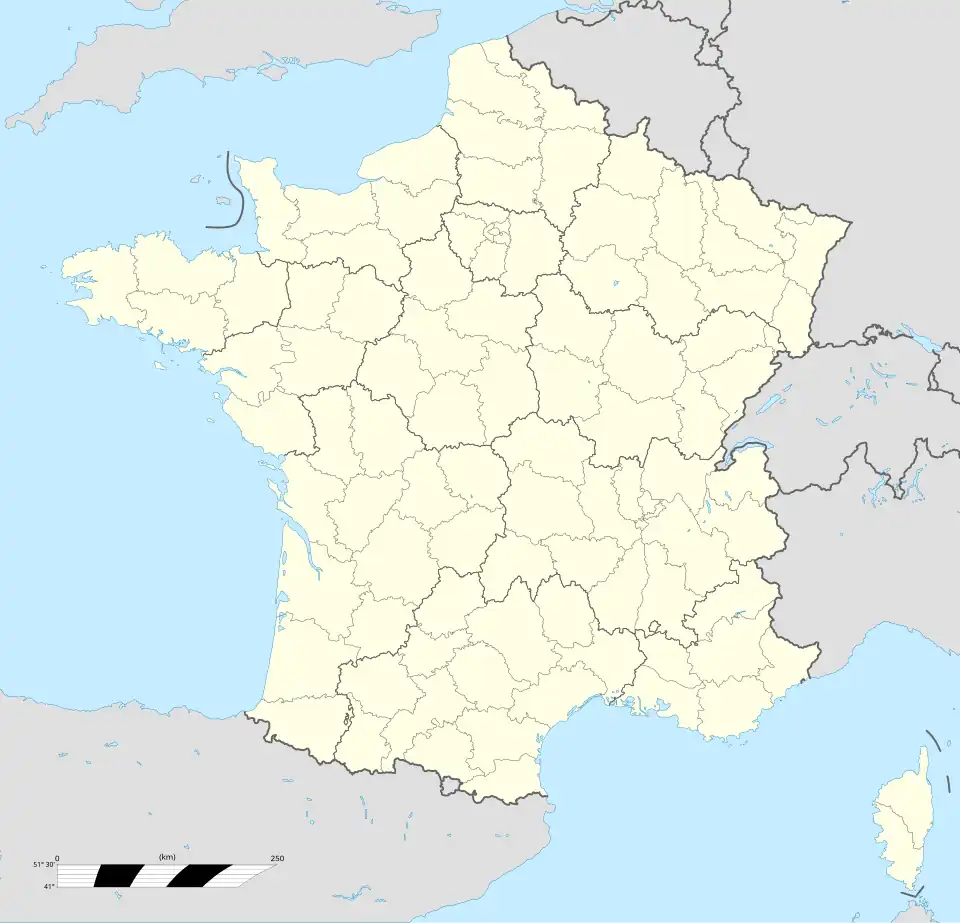
| Region | Grand Est |
| Departement | Marne |
| Arrondissement | Épernay |
| Kanton | Vertus-Plaine Champenoise |
 Allemanche-Launay-et-Soyer | |
| Rozloha a obyvatelstvo | |
| Rozloha | 15,24 km²[1] |
| Počet obyvatel | 118 (2022)[2] |
| Hustota zalidnění | 7,7 obyv./km² |
| Správa | |
| communeallemanche | |
| PSČ | 51260 |
| INSEE | 51004 |
| Některá data mohou pocházet z datové položky. | |
Allemanche-Launay-et-Soyer je francouzská obec v departementu Marne v regionu Grand Est. Žije zde 118[2] obyvatel.
Geografie
Sousední obce

|
Villeneuve-Saint-Vistre-et-Villevotte | La Chapelle-Lasson |
| |
| Saint-Quentin-le-Verger | Marsangis | |||
| Baudement | Anglure |
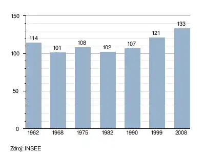
Vývoj počtu obyvatel
Odkazy
Reference
- ↑ répertoire géographique des communes. Institut national de l'information géographique et forestière. [cit. 2015-10-26].
- ↑ a b Populations légales 2022. INSEE. 19. prosince 2024. Dostupné online.
Související články
Externí odkazy
 Obrázky, zvuky či videa k tématu Allemanche-Launay-et-Soyer na Wikimedia Commons
Portály: Francie | Geografie