| Burringham | |
|---|---|
 Church of St John the Baptist, Burringham | |
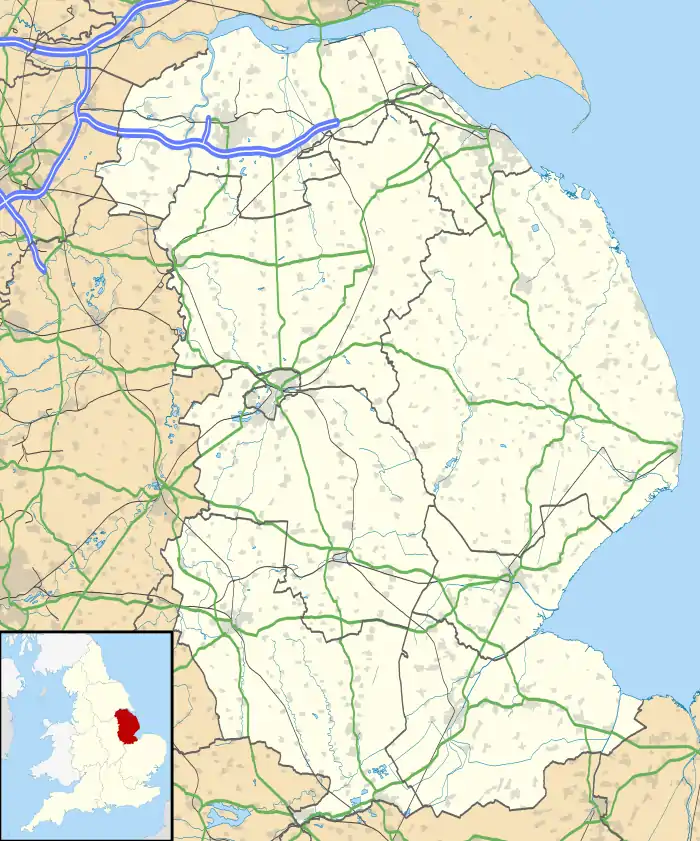 Burringham Location within Lincolnshire | |
| Population | 737 (2011) |
| OS grid reference | SE836094 |
| • London | 140 mi (230 km) SSE |
| Unitary authority | |
| Ceremonial county | |
| Region | |
| Country | England |
| Sovereign state | United Kingdom |
| Post town | SCUNTHORPE |
| Postcode district | DN17 |
| Dialling code | 01724 |
| Police | Humberside |
| Fire | Humberside |
| Ambulance | East Midlands |
| UK Parliament | |
Burringham is a village and civil parish in North Lincolnshire, England. The population of the civil parish at the 2011 census was 737.[1] The village is situated on the B1450 on the east bank of the River Trent approximately 1 mile (1.6 km) south from Gunness.
Burringham's Grade II listed Anglican church is dedicated to St John the Baptist. It was designed by Samuel Sanders Teulon in 1856–67.[2]
The village primary school is halfway between Gunness and Burringham. The public house, Take a Gander, is on the High Street. Burringham used to share the Gunness and Burringham railway station.
References
- ↑ "Civil parish population 2011". Neighbourhood Statistics. Office for National Statistics. Retrieved 18 April 2016.
- ↑ Historic England. "Church of St John the Baptist (1083016)". National Heritage List for England. Retrieved 3 July 2011.
External links
 Media related to Burringham at Wikimedia Commons
This article is issued from Wikipedia. The text is licensed under Creative Commons - Attribution - Sharealike. Additional terms may apply for the media files.